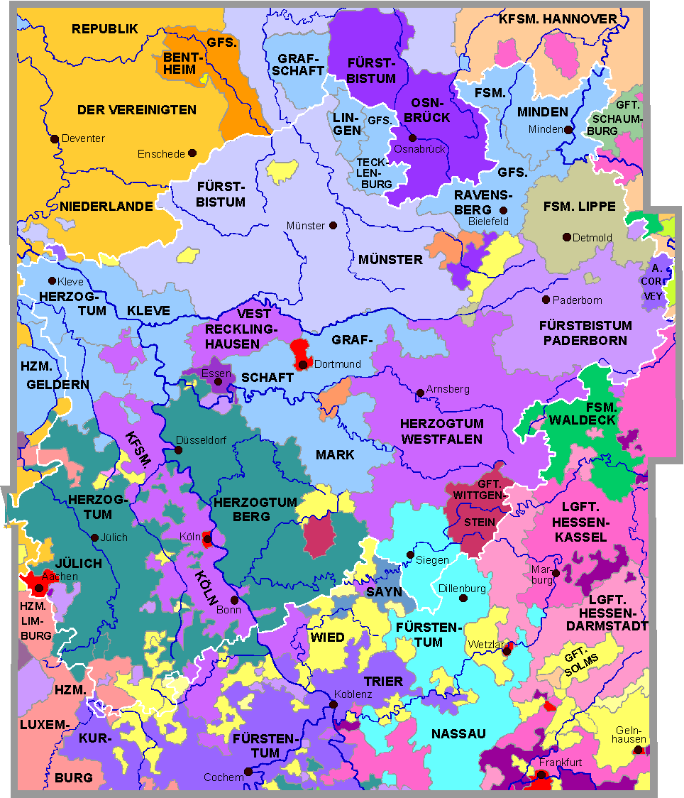
Nordrhein-Westfalen am Ende des 18.
Jahrhunderts (1789) - Interaktive Karte
Northrhine-Westphalia at the end of the 18th century - interactive map
La Rhénanie-du-Nord-Westphalie (la Rhénanie du Nord et la Westphalie)
à la fin du 18e siècle - carte interactive
mehr: Deutschland und das Heilige Römische Reich - more: Germany and the Holy
Roman Empire

|